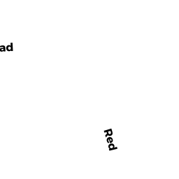
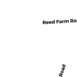
360 REED FARM ROAD
Owner Information
KIRBY PATRICK J
360 REED FARM ROAD
BOXBOROUGH, MA 01719


Property Details
360 REED FARM ROAD is classified as a Single Family Residential (Colonial).
The primary structure on this property was built in 1994. There are 3,127ft2 of built area within this property. There is 3,127ft2 of residential/living space within this property. This property is listed as having 10 rooms.
360 REED FARM ROAD is valued at $744,700. The land is valued at $265,700 and the structures are valued at $460,600. There is an additional valuation of $18,400 on this property.
This property is in Zone AR. Confirm with local Zoning Board authorities to ensure there are no overlays or other easements on this property.
The most recent deed for 360 REED FARM ROAD is recorded at the local registrar in Book 67987, Page 208. 360 REED FARM ROAD was last sold on Friday, September 9, 2016 for $690,000.
Assessment data from fiscal year 2021.
Flood Data
This property is partially within the AE Zone (within floodplain). Approximately 0.59 acres (24.29%) of the property is within this zone.
This information is sourced from the FEMA National Flood Hazard Layer. See our full disclamer.
Broadband Internet Providers
| Provider | Type | Bandwidth (mbps) | |
|---|---|---|---|
| Verizon New England Inc. | Fiber | 940 | 880 |
| Crown Castle Fiber | Fiber | 0 | 0 |
| Viasat Inc | Satellite | 100 | 3 |
| Verizon New England Inc. | DSL | 5 | 0 |
| Comcast | Cable | 1000 | 35 |
| GCI Communication Corp. | Satellite | 0 | 0 |
| HughesNet | Satellite | 25 | 3 |
| VSAT Systems, LLC. | Satellite | 2 | 1 |
Broadband service provider data from December 2020.
Adjacent Properties
- 150 SARGENT ROAD
Dept. of Conservation and Recreation (DCR) - Division of Urban Parks and Recreation (non-reimbursable) owned by BOSTON & MAINE RAILROAD - 351 REAR REED FARM ROAD
Vacant, Conservation (Municipal or County) owned by BOXBOROUGH TOWN OF - 351 REED FARM ROAD
Single Family Residential owned by ZALPURI GUATAM - 346 REED FARM ROAD
Single Family Residential owned by GARDE CESAR A